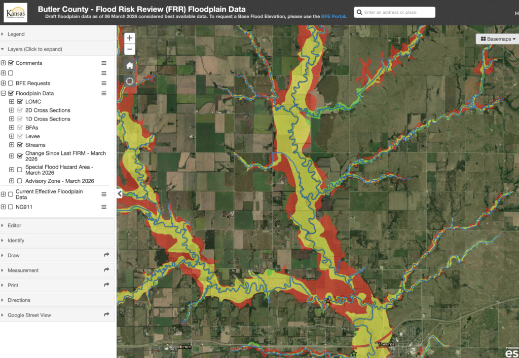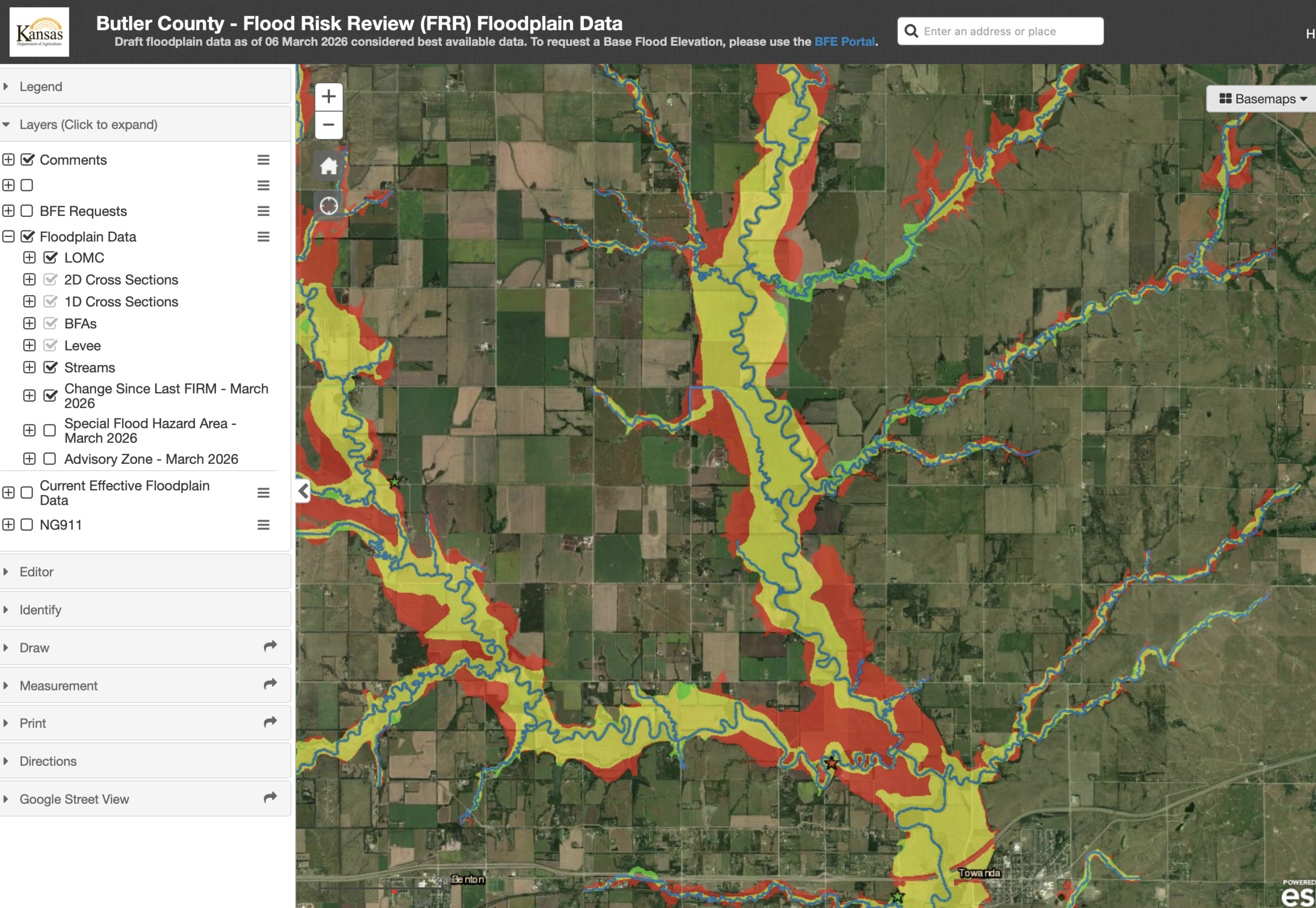
FEMA is working to update the Butler County, KS floodplain map. Right now it is in DRAFT mode. They expect it to be adopted (per the website) by fall of 2026.
What? A public open house is being held for residents to ask any questions they may have. Does this proposed map affect you and your family? Does it affect the property value? What about homeowners insurance?
Does it somehow tie into industrial expansion/growth in Butler County, and if so how?
When? May 6, 2026 from 2pm-6:30pm @ the El Dorado Civic Center, come and go.
There is a second open house on the 7th, same time, in Andover at Andover City Hall Council Chambers
If you cannot attend the FEMA Open House, you can probably contact the county office and ask to speak with someone who can help you.
Here is the link to the official DRAFT map.
Red is an expanded area
Green is decreased area
Yellow is not increased or decreased.
The image below is a screen shot for example, it is not the entirety of the map for Butler County.